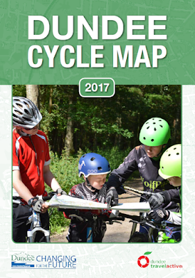
Dundee City Council have recently launched the new look Dundee Cycle Map 2017. The map has been extensively updated to include new routes and to update locations of destinations.
The map is free and is available from all libraries and cycle shops across the city and has been funded through the Smarter Choices, Smarter Places fund from the Scottish Government.
The map features the Green Circular which circumnavigates the city, linking some of Dundee’s best green places, and Greenways routes which link other areas. The Green Circular was opened in 1995. Recent improvements include resurfacing at Riverside near the Nature Park and upgrading to tarmac surface at Trottick Ponds. The launch took place at a new Toucan Crossing at Whalers Lane in the Central Waterfront, part of efforts to connect the City to the Tay.
This is the largest Dundee Cycle Map ever, with more information, including a bigger City Centre insert, information on the locations of 20mph zones and suggestions for leisure rides to the north, south, east and west of the city.
Improvements to the map have prepared by the council’s City Development and Neighbourhood Services. Dundee Cycling Forum have provided significant information into routes they use, barriers and text suggestions.
The ancestor of the modern bicycle, the Velocipede is 200 years old in 2017. Isn’t it time you gave it a go!

